WEATHER watchers will be pleased to hear the cold snap which set in over the weekend should not last long.
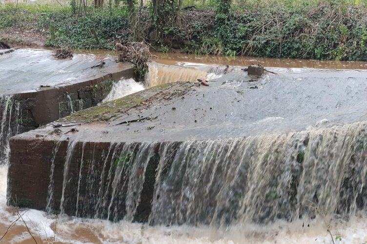
After a weekend of further heavy rainfall which aggravated existing flooding across the Wellington and West Somerset areas there was also some snow on higher ground as colder air swept in on Sunday.
The Met Office said wintry showers would continue Monday through to Wednesday with sub-zero overnight temperatures expected to bring sharp frosts in some areas.
But then milder air should start to arrive, meaning a warmer, but wet and windy again, end to the week.


-between-Wellington-and-junction-26-of-t.jpeg?width=209&height=140&crop=209:145,smart&quality=75)
For the Wellington and Wiveliscombe areas, it should mean that temperatures of minus 4C overnight and 5C during daylight today should rise to 9C and 10C by the weekend, although nighttime could still be sub-zero.
In West Somerset, temperatures in the coastal communities could reach 6C today and 9C by the weekend, with the nights being much milder than elsewhere.
On Exmoor, sub-zero nights should persist and daytimes should rise from today’s 5C to 8C and 9C for the weekend.
Deputy chief meteorologist Helen Caughey said: “After a spell of wet and mild weather to start 2023, a brief cold spell will change the feel of our weather across the UK for a few days.
“As a northerly flow establishes, we will see temperatures decline with overnight frosts returning and the chance of wintry showers in the north.
“It will certainly feel cold in all regions too, with the northerly winds creating a notable windchill.”
However, milder air moving in from the Atlantic should bring wet and windy conditions back to the UK towards the end of the week.
There is a chance of some transient snow on the leading edge of the frontal rain as it moves through although the detail of it was uncertain.
The Environment Agency (EA) was continuing to deal with widespread flooding as a result of rivers overtopping their banks in many areas.
It was calling in support from EA staff in Yorkshire to help cope with the massive workload across the region.
Both routes into Dulverton, remained closed due to flooding today, the B3222 from Axbridge and from Machine Cross, although this could be accessed via the A396.
The B3222 Jury Hill at Dulverton remained closed in both directions due to flooding between the Bridgetown turn-off and Lady Victoria's Drive.
Cleeve Hill, Watchet, was also impassable in both directions due to flooding between The London Inn and Old Cleeve turn-off.
And in Washford, Willow Grove remained shut in both directions due to last week’s landslip from the A39 Quantock View to Huish Lane.
The A38 between Wellington and Taunton was reopened over the weekend.
Comments
This article has no comments yet. Be the first to leave a comment.